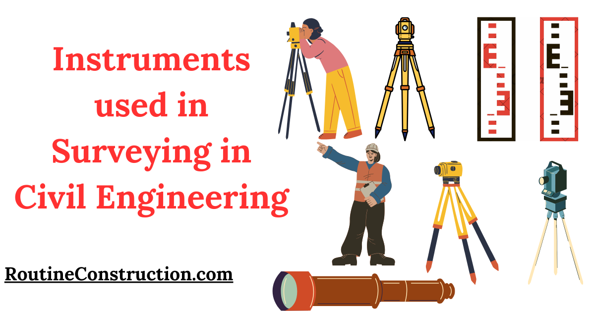
Surveying is a fundamental aspect of civil engineering that involves determining the positions of points on the Earth’s surface.
This process is essential for planning and executing construction projects.
Instruments Used in Surveying in Civil Engineering
| Instrument | Use |
|---|---|
| Chains | Measuring straight distances |
| Tapes | Flexible distance measurement |
| Arrows | Marking measured points |
| Ranging Rods | Marking survey points |
| Prismatic Compass | Measuring angles and bearings |
| Theodolite | Precision angle measurement |
| Plane Table | Field plotting of survey data |
| Alidade | Sighting and drawing lines |
| Tacheometer | Indirect distance measurement |
| Drones | Capturing aerial photographs and videos |
| Cameras | Aerial and photographic surveying |
| GPS Receiver | Determining precise locations |
| Total Station | Measuring angles and distances electronically |
In this article, we will read about the various instruments used in surveying in civil engineering, explaining their functions and importance in a simple and clear manner.
Introduction to Surveying Instruments
Surveying instruments are essential tools for civil engineers. They help in measuring distances, angles, and elevations accurately.
These measurements are used to create maps, plans, and layouts necessary for construction projects.
Let’s explore the different types of instruments used in surveying in civil engineering.
Chain Surveying Instruments
Chains and Tapes

Chains and tapes are among the simplest instruments used in surveying.
They are used to measure straight distances between two points.
Chains are made of metal links, while tapes are flexible and can be made of various materials like cloth, steel, or fiberglass.
Arrows and Ranging Rods
Arrows and ranging rods are used to mark points on the ground during a chain survey.
Ranging rods are long, straight rods painted in alternating colors for visibility, while arrows are metal pins inserted into the ground to mark measured points.
Compass Surveying Instruments
Prismatic Compass

The prismatic compass is used to measure angles and bearings in surveying.
It consists of a magnetic needle that points towards the magnetic north, a graduated circle, and a prism for reading the angle measurements.
This instrument helps in determining directions and plotting the survey lines.
Theodolite Surveying Instruments
Theodolite

The theodolite is a precision instrument used to measure horizontal and vertical angles.
It consists of a telescope mounted on a tripod, which can rotate in both horizontal and vertical planes.
Theodolites are essential for accurate angle measurements in large construction projects.
Plane Table Surveying Instruments
Plane Table
A plane table is a drawing board attached to a tripod.. It is used for plotting survey data directly in the field.
A surveyor uses a straightedge called an alidade to sight points and draw lines on the paper attached to the plane table.
This method allows for immediate visual representation of the surveyed area.
Tacheometric Surveying Instruments
Tacheometer
A tacheometer is a type of theodolite with additional features to measure distances indirectly using a method called stadia.
It is used for rapid and efficient surveying in difficult terrains where direct measurement is challenging.
Aerial and Photographic Surveying Instruments
Drones and Cameras
Drones equipped with high-resolution cameras are increasingly used in modern surveying.
They capture aerial photographs and videos, which are processed to create detailed maps and 3D models of the surveyed area. This method is efficient for large and inaccessible areas.
GPS and Total Station Surveying Instruments
GPS Receiver
A GPS receiver uses signals from satellites to determine precise locations on the Earth’s surface.
It is used for geodetic and topographic surveys, providing accurate coordinates for points of interest.
Total Station
Total Station
A total station combines the functions of a theodolite and an electronic distance meter.
It measures both angles and distances electronically and records the data for further processing.
Total stations are highly accurate and versatile instruments used in various surveying tasks.
Conclusion
Instruments used in surveying in civil engineering are necessary for obtaining accurate measurements and data required for planning and executing construction projects.
From simple chains and tapes to advanced GPS receivers and drones, each instrument plays a significant role in the surveying process.
Understanding these tools helps civil engineers ensure the success and safety of their projects.
By using the right instruments, surveyors can create precise maps, layouts, and plans, which are essential for effective construction and infrastructure development.
