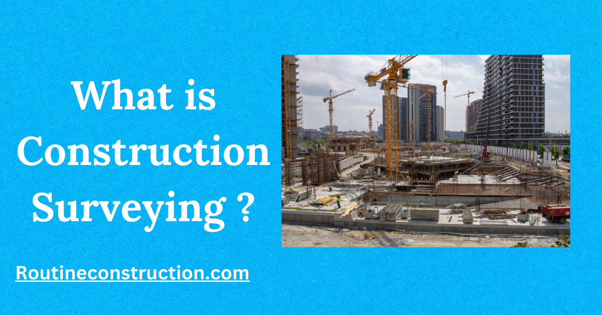
Construction Survey, also known as “lay-out” or “setting-out,” involves placing markers to guide the building of new structures like roads or buildings. These markers are arranged based on the chosen coordinate system for the project.
In this article we will read
This article talks about Construction Surveying, which helps in building roads and buildings by placing markers in the right spots. It discusses how surveying techniques have evolved over time, from ancient monuments like the Great Pyramid of Giza to modern tools like GPS. The article explains how surveyors check the layout of a construction site, use different coordinate systems, and set up grids to guide the building process accurately. It also mentions tools like levels and theodolites that measure angles and distances, making sure everything is built correctly.
Evolution of Construction Surveying
The Great Pyramid of Giza, built around 2700 BC, shows how well the Egyptians knew surveying. Stonehenge, around 2500 BC, was likely built using pegs and ropes by ancient surveyors. In the 6th century BC, geometric methods helped construct the Eupalinos Tunnel on Samos Island.
What is Construction Surveying?
Components of Construction Survey:
- Check the current workplace setup, like the land layout, buildings, and underground structures (like measuring drain heights and widths in manholes).
- Place markers and points to guide building new structures.
- Verify structure locations during construction.
- Do a final survey at the project’s end to ensure the work meets the project’s requirements.
Coordinate Systems Utilized in Construction
Land surveys and surveys of existing conditions usually use geodesic coordinates. However, sometimes a different coordinate system is needed for building.
When doing a construction survey, the surveyor may need to change from geodetic coordinates to the project’s coordinate system.
Chainage or Station
For roads or linear structures, a chain is set up along the centerline of the road. During construction, the positions of structures are determined using chainage, offset, and elevation.
Offset refers to being on the “left” or “right” side of a chain line as it increases in a direction.
Plans often include plan views (looking from above), profile views (a clear side view showing all parts of the road parallel to the chain), and cross-section views (a true side view perpendicular to the chainage).
In a plan view, chainage increases from top to bottom or from bottom to top. Profiles show chainage increasing from left to right, and cross-sections show the direction of increasing chainage (so left offset is to the left, and right offset is to the right).
“Chainage” may also be called “Station“.
Building Grids
For buildings, a grid system is often set up with rows and columns of important walls and columns.
These grids might be labeled with letters in one direction and numbers in the other (like a map). The grids aren’t always straight or evenly spaced.
Floors and basement levels are also given numbers. Things like equipment or architectural details are often located based on the floor and the closest intersection of the grid lines.
Other coordinate systems
In some construction projects, they might create “north-south” and “east-west” lines that aren’t always true to actual coordinates.
Tools and Methods in Construction Surveying

Surveying tools like levels and theodolites help measure angles, distances horizontally, vertically, and along slopes accurately.
Modern technology has brought electronic tools like EDM, total stations, GPS surveying, and laser scanning, which have largely replaced traditional optical instruments.
A builder’s level doesn’t measure angles. It uses a spirit level and telescopes to create a line of sight along a flat surface. When paired with a graduated staff, it can transfer elevations between different spots.
Another way to transfer elevation is using water in a see-through hose, where the water level at both ends indicates the same elevation.
